


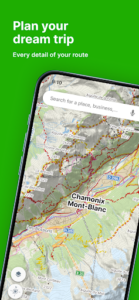


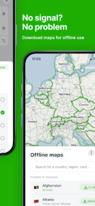

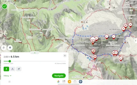
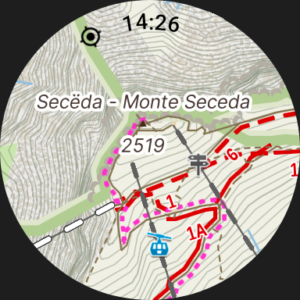
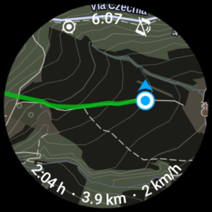



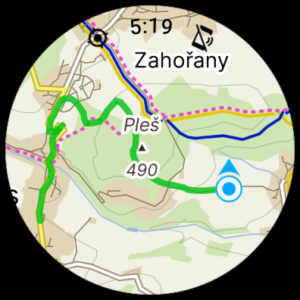
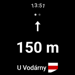
Mapy.com: Offline Outdoor Maps is an app designed to help users navigate and plan routes for outdoor activities, even in areas without an internet connection. It functions as an outdoor route planner, tracker, and navigation tool, utilizing GPS to display your location and guide you. A key capability is its robust offline map support, allowing users to download entire regions or countries beforehand to ensure uninterrupted access to maps and navigation when hiking on forest paths, biking in mountains, or in any location without a signal.
Offline Navigation and Route Planning
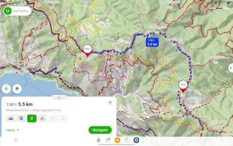
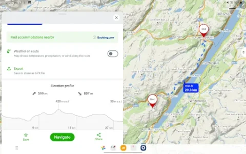
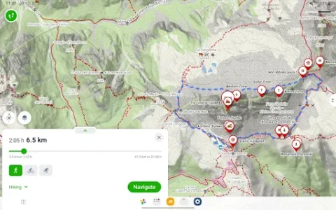
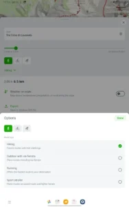
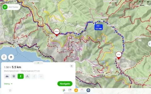
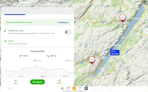
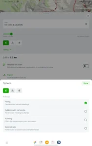
The app provides outdoor step-by-step navigation using GPS, ensuring you always know your location directly on the map. It offers a comprehensive route planner that supports various activities, including hiking, mountain biking, road cycling, cross-country skiing, and skialp. Users can plan routes from point A to point B or create round trips, receiving detailed information such as estimated time, distance, and elevation. For advanced users, there are options to set custom speeds and view slope shading within the elevation profile, which provides a detailed overview of the terrain. The app also features voice navigation available in 32 languages.
Detailed Maps and Points of Interest
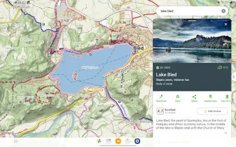
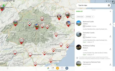
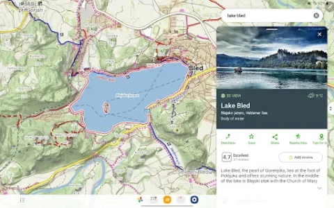
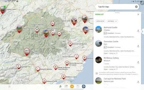
Mapy.com offers maps of the whole world, with different styles including outdoor, aerial, and winter maps to suit various needs. Beyond navigation, the app helps users discover local Points of Interest (POIs) and provides tips for trips, all searchable by category. This allows for comprehensive planning and exploration of new areas.
Tracking and Sharing Features
The app includes a distance tracker for a wide range of outdoor activities, helping users monitor their progress. Recent updates have introduced an interactive elevation profile for routes during planning, and this profile is also available for saved activities. Users can also take advantage of features like peak recognition and location sharing, which allows them to share their current position with friends or family. For Mapy.com Premium users, the elevation profile offers additional details, including color-coded route gradients, road and path types, and surface types.
Practical Considerations
The primary limitation for offline use is the necessity to download map regions or entire countries prior to venturing into areas without an internet connection. While this saves data and battery during use, it requires forethought and preparation. The app provides these offline maps specifically to ensure navigation is possible even in remote locations like small mountain paths or deep forests where cellular service may be unavailable.







Write a review